Campsites on the Pennine Way
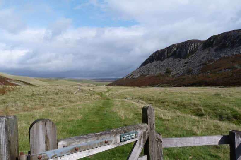
One of the most challenging long-distance trails in the UK, the Pennine Way came into being in 1963 as the first of England’s National Trails. It is a 268-mile walk leading through some of the UK’s most untamed countryside, including remote dales, high moorland and high-altitude upland passes.
Running from Edale in Derbyshire to Kirk Yetholm in the Scottish Borders, the full route can take between 19 and 25 days to complete. Few people can spare this amount of time in one go, however, so it’s often broken down into shorter sections.
See our itinerary suggestions below, along with practical information on making your camping and backpacking trip as enjoyable and as easy as possible.
Camping accommodation
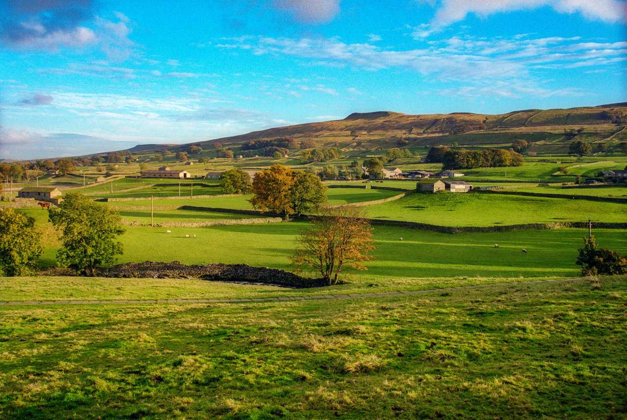
A camping trip gives you chance to enjoy the upland scenery of the Pennine Way at your own pace, and the freedom to spend quality time among remote landscapes. You can book campsites safe in the knowledge that most will be near somewhere to eat, are likely to fill up with walkers intent on getting a good night’s sleep rather than partying late, and should have washing facilities for freshening up after a long day’s hike (you can check this on the Pitchup listing to make sure you're not caught short).
There are plenty of official campsites along this lengthy trail – and don’t forget that wild camping is permitted in Scotland – but it gets very busy during the summer, so it's worth booking pitches early. Check out all the camping choices available to you on the Pennine Way by clicking on the links under each day’s itinerary.
For a small fee, some baggage companies will move your gear from site to site daily, which is very convenient if you’re hiking with family or friends and have a lot of kit to transport.
Campsites in the Scottish Borders
What can I see along the Pennine Way?
There are many, many attractions – from glorious landscapes to waterfalls and a Roman wall – along the Pennine Way. Here are five of the most spectacular.
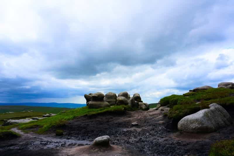
The highest point in the Peak District and close to Edale, Kinder Scout is a vast moorland plateau strewn with bizarre rock formations like the Woolpacks and Seal Rocks, as well as waterfalls and pools. It was also the scene of the 1932 Mass Trespass, which led to the formation of the Peak District National Park.
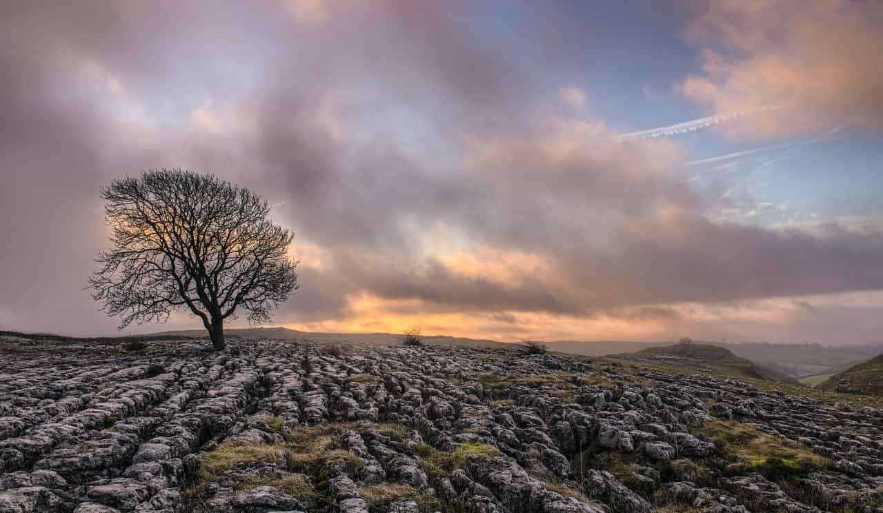
This vast semicircular limestone cliff stands about 230 feet high, and is topped by a rare limestone pavement formed over centuries by glacial erosion. From the top there are far-reaching views of Malhamdale, and it’s a popular destination for climbers and walkers camping around Malham village.
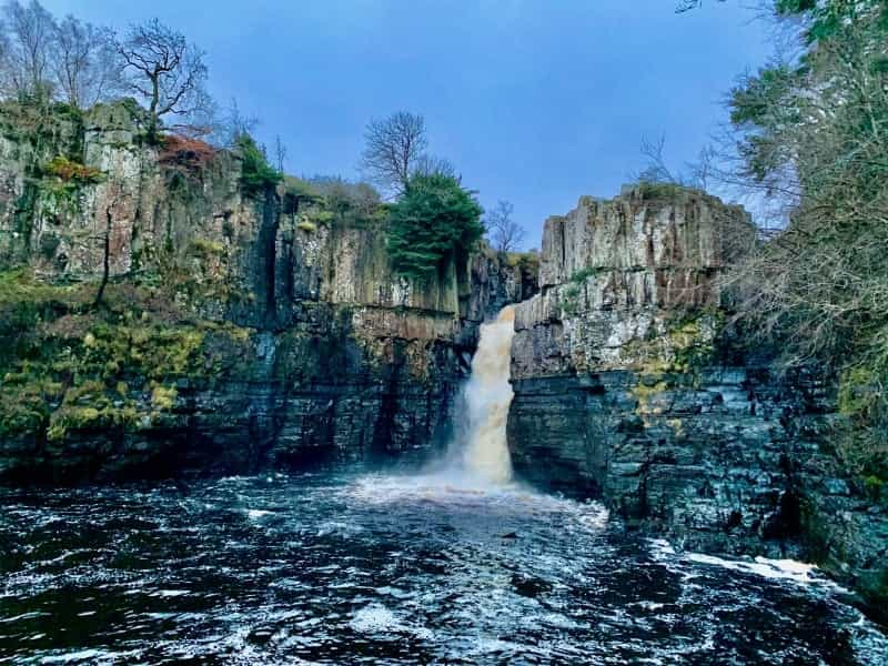
Surrounded by woodland in Forest-in-Teesdale, the River Tees is funnelled 70 feet over this dramatic waterfall into a plunge pool below. You can clearly see the various layers of limestone and sandstone rock on the cliffs flanking the falls from the vantage point at the foot of the cascade.
Formed by glaciation during the last Ice Age, High Cup Nick is a sweeping, U-shaped valley above Dufton village in the North Pennines Area of Outstanding Natural Beauty. It is notable for its rock formations and limestone escarpment, plus the scree slopes below the valley head.
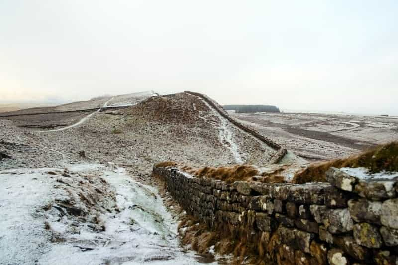
First met by Pennine Way walkers at Greenhead, Hadrian’s Wall was built in AD122 by the Roman Emperor Hadrian and ran 73 miles west to east across northern England. Today you can visit sites like Housesteads Roman Fort and Chesters Roman Fort.
Splitting up the Pennine Way route
There are many ways to do this, and it can be walked in day, weekend or week-long sections. One of the most popular approaches is to divide the route up and walk the following stages (which is how we’ve mapped the route):
-
from Edale to Malham;
-
from Malham to Alston;
-
from Alston to Kirk Yetholm.
An itinerary for the Pennine Way
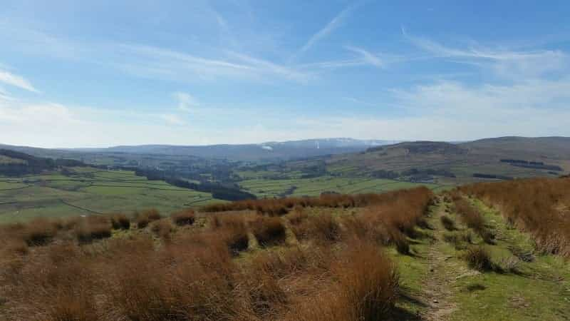
Here is a guide to what you can expect to achieve daily – and what you can see – when walking the Pennine Way. Each day’s walk ends near a village or town with a range of camping options, as well pubs and shops. We have written up the itinerary travelling from south to north, but there is no reason why you can’t simply reverse the route.
Start your journey in the Peak District at a campsite close to Edale, ready to get an early start on the Pennine Way. There’s a choice of rural sites on farms with glorious moorland views as well as several sites adjoining popular pubs.
See all our campsites near Edale
The route from Edale to Malham
Day One – Edale to Crowden (16.5 miles)
The official start of the Pennine Way is at the Nag’s Head pub in the Peak District village of Edale. From there, you soon hit the upland plateau of Kinder Scout, with fantastic Peak District views. The route passes Kinder Downfall waterfall and the stone cairn at Bleaklow Head en route to Torside Reservoir, before arriving at the village of Crowden.
There are pubs and supermarkets in Glossop (10 minutes’ drive). Accommodation-wise, you have ample choice of simple farm campsites, pitches affiliated to pubs or glamping pods; many options overlook the reservoirs in Longdendale Valley or have views of the Peak District National Park.
Day Two – Crowden to Standedge (15 miles)
The long climb from Crowden is gentle, leading up to Black Hill and following reservoir tracks and paths over open moorland to Black Moss Reservoir. Then there’s a long drop down to Standedge, where there are relics of a Roman road and a visitor centre at Standedge Tunnel on the Huddersfield Narrow Canal.
You can book all manner of camping choices near Standedge, from back-to-basics semi-wild camping in farm fields to adults-only glamping pods – and many with gorgeous Peak District views.
See camping options near Standedge
Day Three – Standedge to Hebden Bridge (16 miles)
A day of moorland walking, past the dark-tinged rocks at Blackstone Edge and over the M62 motorway by footbridge. More tracks past reservoirs and across moorland lead to the landmark stone beacon at Stoodley Pike, before a descent through the Calder Valley to lively Hebden Bridge on the canal towpath.
As well as lots of campsites with glamping pods for a touch of luxury and hot showers, Hebden Bridge also has simple pitches in farm fields. The town is a good spot for restocking supplies or doing a tour of the local pubs.
Pitchup campsites near Hebden Bridge
Day Four – Hebden Bridge to Haworth (eight miles)
The morning kicks off with a challenging climb back on to the moors, with the route leading around the remote reservoirs of Gorple and Walshaw Dean. Finally you hit Brontë country at Top Withens (the ruined farmhouse thought to be inspiration for Wuthering Heights) where many people take a detour into Haworth to visit the famous parsonage and restock on goodies from the local shops.
Cosy wooden pods, glamping tents and a couple of well-equipped holiday parks are among camping options local to Haworth. If you fancy a night in the pub, Wuthering Heights Inn has a couple of comfy glamping pods with spectacular valley views.
Day Five – Haworth to Lothersdale (10.5 miles)
There’s a gentle start to the day with a return to the Pennine Way at Ponden, and then a climb up to Wolfstones Height, where there are wonderful moorland views. There follows a drop down into Ickornshaw village, where the path largely follows farm tracks to Lothersdale, a peaceful village in a valley with a welcoming pub.
Expect glorious Dales views from camping sites around Lothersdale, which could be pitches in fields behind pubs or cosy glamping pods.
Pitchup sites near Lothersdale
Day Six – Lothersdale to Malham (14 miles)
The first viewing stop is at Pinhaw Beacon, followed by moorland hikes to Thornton-in-Craven and field tracks to Gargrave on the River Aire. Stop a while to walk a stretch of the Leeds and Liverpool Canal or carry on along the river to Malham, at the foot of the Yorkshire Dales.
This lovely village has a brace of pubs alongside Malham Beck, as well as peaceful, back-to-basics campsites in farm fields, glamping boltholes with lots of handy facilities, and several unusual accommodation choices like shepherd’s huts and gypsy caravans.
Many people choose to end the first stage of their walk in Malham. If this is your plan, and you’re keen to stay in the area for a few days and explore further, Willowbeck Farm is an adults-only stopover with views over the Pennine Way. It’s close to a pub, as well as the town of Settle (10 minutes’ drive) for stocking up on essentials.
See all camping options around Malham
The route from Malham to Alston
Day Seven – Malham to Horton-in-Ribblesdale (12 miles)
A great day’s walking in the Yorkshire Dales National Park, leading past the limestone cliff and pavement at Malham Cove, and through two craggy valleys up to Malham Tarn. Today’s challenges include Fountains Fell and Pen-y-ghent (part of the Three Peaks Challenge) and then a walled drovers’ road down into Horton-in-Ribblesdale.
Horton-in-Ribblesdale is a popular destination for hikers looking to conquer the Three Peaks Challenge as well as a sleepover along the Pennine Way, so there are plenty of campsites locally. Choose from well-equipped glamping pods, simple lakeside pitches and bell tents with views across the fells. Philpin Farm has a wild-camping vibe and a barn where you can eat if the weather turns bad, as well as a weekend snack bar in summer.
Pitchup’s Horton-in-Ribblesdale campsites
Day Eight – Horton-in-Ribblesdale to Hawes (13 miles)
A lot of moorland walking today, following the Cam High Road, an old Roman track leading up to Dodd Fell in Wensleydale. From there, it’s a stretch along field paths to the beckside hamlet of Gayle and on to Hawes. This lively Dales town is a good place to stay if you fancy a day away from walking, with plenty of pubs, a smattering of local museums and supermarkets for replenishing supplies.
Hawes is one of the main towns in the Yorkshire Dales National Park, and so it has many camping options. Family-friendly holiday parks, dog-friendly farm sites and luxurious shepherd’s huts with Dales panoramas are all on offer.
Day Nine – Hawes to Keld (nine miles)
Today’s route takes in Great Shunner Fell, the highest point yet along the Pennine Way, and then heads to Hardraw (detour to see Hardraw Force waterfall) before a long climb and then descent into gorgeous Swaledale. The first village you hit is Thwaite, then on to Keld at the head of the dale.
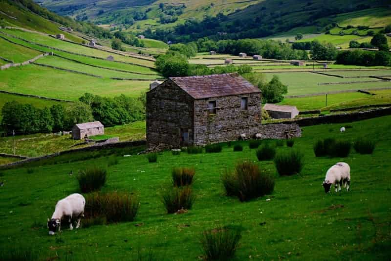
Swaledale is one of the most famous dales, scattered with abandoned stone bars and crossed with hiking trails. It’s a very popular destination with walkers, so there are plenty of camping options, from basic to tip-top luxurious, around Keld.
Day 10 – Keld to Bowes (13 miles)
A day of moorland walking from Keld, leaving to the north and passing the remote Tan Hill Inn, the highest pub in Britain and a pleasant place to stop for a refreshing pint. From there the route crosses Bowes Moor into the secluded village of Bowes, with its ruined 12th-century castle built over a former Roman fortress and the impressive Mill Force waterfall on the Greta River.
Bowes is close to the old town of Barnard Castle, where there is a good selection of decorative-arts masterpieces at the Bowes Museum, and a chance to replace your essentials in supermarkets. The area has plenty of peaceful simple campsites on farms as well as quality glamping pods and pitches connected to pubs.
Pitchup camping choices near Bowes
Day 11 – Bowes to Middleton-in-Teesdale (12 miles)
Leaving Bowes, there are more moorland tracks and then a drop down into Baldersdale. Then it’s on to Lunedale, past remote reservoirs and farms before a gentle descent into Middleton-in-Teesdale in the Durham Dales. This Victorian-era market town is another popular place to fill up on groceries and relax over a couple of pints in welcoming pubs.
Camping boltholes nearby include back-to-basic pitches with views across the Tyne Valley, glamping pods with private hot tubs for a touch of luxury, and well-appointed bell tents.
View all campsites near Middleton-in-Teesdale

Day 12 – Middleton-in-Teesdale to Dufton (20 miles)
A long day’s walk, first running along the River Tees to the well-known High Force and on to Cauldron Snout, two powerful waterfalls. This is followed by upland hiking across the western side of the Pennines to High Cup Nick, a vast and U-shaped glaciated valley. From there, head for pretty Dufton village, with houses clustered around the village green.
After a day full of natural wonders, you can camp locally in wooden pods close to a stretch of Hadrian’s Wall, pitch up and head for a pint at rural pubs, or enjoy the peace in cosy adults-only yurts.
Day 13 – Dufton to Alston (20 miles)
Leaving Dufton, today you’ll hike Cross Fell, the highest point on the Pennine Way, followed in quick succession by Knock Fell, Great Dun Fell and Little Dun Fell. A footpath off the moor leads through Garrigill village before hitting the South Tyne river and a trail to Alston, a Cumbrian village with a cobbled high street, a cluster of pubs and shops for picking up supplies.
If you are completing the Pennine Way in sections, Alston is often the end of the second stage. A range of secluded camping hideaways cover all price ranges and camping styles, from comfortable pods to shepherd’s huts and pitches in the grounds of a stately home, many with views across the North Pennines.
Pitchup campsites around Alston
The route from Alston to Kirk Yetholm
Day 14 – Alston to Greenhead (17 miles)
A series of fields and moors leads towards Hadrian’s Wall, with some rough ground underfoot (especially towards the end of the day). The small village of Greenhead is a handy base from which to explore sections of the wall, and it's also home to the Carvoran Roman Army Museum.
Nearby you can book into bunkhouses or bothies, camp with views of the coast, stay overnight in a wigwam village or tuck yourselves into simple pitches in farm fields.
Options for camping near Greenhead
Day 15 – Greenhead to Once Brewed (five miles)
There’s not too far to go today, so you can take your time to explore the Carvoran Roman Army Museum. This short stage meets the Hadrian’s Wall Path and passes several ruined Roman-era milecastles and forts. You can also stop off at medieval Thirlwall Castle, built from stone stolen from the wall. There are views northwards from Windshields Crag and a road section into Once Brewed, the village that's home to the popular Twice Brewed Inn.
For overnights, go high end with bell tents on a country estate, with breakfast included, or stick to the basics and pitch up on a hilltop with views over the Derwent Valley. Some of the campsites in the Northumberland National Park are also dark-skies sites.
Day 16 – Once Brewed to Bellingham (20 miles)
More Hadrian’s Wall history today, with the preserved Roman fort at Housesteads a worthwhile detour. The Pennine Way then heads off to the north through Wark Forest and across moorland towards the Cheviot Hills. Expect some testing times today, with rough ground and a long climb up Shitlington Crags before descending into Bellingham – your last main chance to buy food and water along the route.
Farm sites with 'wild' camping are among your overnight options, along with glamping spots close to Hadrian’s Wall and a couple of eco-sites with bar facilities and barbecue areas.
Day 17 – Bellingham to Byrness (17 miles)
Leaving Bellingham, the trail leads across moorland to the stone monument atop Padon Hill, and from there it can be a bit heavy going before Redesdale Forest. After that, however, it’s a much easier ride as you go down into Byrness hamlet, tucked at the foot of the Cheviot Hills.
Locally, you’ll find glamping for adults, campsites with bars (in summer) and plenty of simple, dog- and family-centric back-to-basic options, plus the welcome option of a pub in nearby Otterburn (10 minutes’ drive).
Day 18 – Byrness to Clennell Street (15 miles)
More forest walking today, and then a steep ascent up through the Cheviots, passing Roman remains at Chew Green and the remote Windy Gyle, on the Scottish border and with views into Northumberland and the Borders regions.
The final part of today’s route follows Clennell Street, an ancient drovers’ road, and gives a choice of camping accommodation – from heated shepherd’s huts to farm sites on the banks of the River Eden – close to the remote hamlets of Cocklawfoot or Uswayford, both with a scenic backdrop of the Cheviot Hills.
Pitchup campsites around Clennell Street
Day 19 – Clennell Street to Kirk Yetholm (15 miles)
The final day’s walk climbs back up to the Cheviot ridge, with a lot of ups and downs among some testing hillwalking to reach Kirk Yetholm. At the official end of the Pennine Way, you can treat yourself to a very well-earned drink at The Border Hotel before picking up a bus service to Kelso. There's also a choice of campsites – from budget to luxury – if you choose to have dinner too and stay the night.
Planning for the Pennine Way
Read on for suggestions that should help make your Pennine Way adventure an enjoyable success.
What to pack
Read our handy tips if you’re camping for the first time, and check out ways to keep the weight of your backpack to a minimum.
Dealing with ticks on the Pennine Way
With the increase in deer population on high-level moors and grassland, ticks are becoming quite an issue along the route. Most tick bites happen between May and July, and in early autumn. They climb onto your skin or clothes from vegetation as you brush through it, bite your skin and feed on your blood.
Always carry tick tweezers as part of your first-aid kit, and read the following tips for staying safe:
-
Keep to paths and tracks in areas of long grass and heather.
-
Cover your feet and legs: tuck your trousers into socks or wear gaiters and wear long sleeves.
-
Spray insect repellent on all your clothing.
-
Inspect your clothes regularly for signs of ticks – wearing light-coloured garments helps to spot them.
-
Check yourself and your kids around the hairline, navel, between toes, and behind ears and knees.
-
Make sure to check dogs too.
- Remove an embedded tick within 24 hours and it is highly unlikely to have become infectious, but if you are concerned about Lyme Disease, visit your local GP.
When to go
The Pennine Way is open to walkers all year around, but it is challenging in its length, in the terrain covered and in the unpredictability of the weather.
-
Weatherwise, the best time to embark on the trail is between May and September. Even then, be prepared for rain, wind, mist and sunshine – all in one day.
-
It can snow on the most exposed parts of the walk well into spring.
-
High moorland sections of the walk can get very muddy and boggy after rain.
-
If you choose to walk in winter – and you’ll need to be an experienced long-distance hiker to do so – it's worth noting that some campsites along the route in northern England and southern Scotland stay open, but many of the shops close. It’s vital to be prepared for pitching up in winter.
Staying safe on the hike
The Pennine Way is a challenging hike through open moorland and remote upland passes, so you need to take some sensible precautions.
-
When walking, make sure someone knows where you are heading each day and what time you expect to arrive, so they can raise the alarm if you run into problems.
-
Carry enough water and food for each day, as you’ll be hiking through remote countryside with few opportunities to stock up.
-
Be prepared for unpredictable weather conditions all year round, and layer up accordingly, with a waterproof top layer.
-
Make sure you know basic first aid and carry a first-aid kit.
-
Don’t rely on mobile phone reception in remote places.
-
Have a sure grasp of map-reading and navigation (try a watch with GPX) as the path can be tricky to follow in places despite being largely signposted.
-
Take OS maps and a compass as well as a detailed guidebook.
-
If there is an emergency, contact 999 or 112 or use the app what3words to let people know exactly where you are.
See all available Pitchup campsites in north-east England
See all available Pitchup campsites in the Scottish Borders
Pennine Way camping FAQs
Is wild camping allowed on the English section of the route?
There are numerous official campsites of all descriptions and prices bordering the Pennine Way, so there should be no need to wild camp.
Strictly speaking, it is illegal to wild camp in England, Wales and Northern Ireland, but farmers, landowners and pub owners may allow you to pitch up overnight on their land, providing you ask first.
Is wild camping permitted on the Scottish part of the walk?
Once you're in the Scottish Borders, the rules change and responsible wild camping is legal (as it is throughout Scotland), but there are rules that must be obeyed. Laid out in the Scottish Outdoor Access Code, they are as follows:
-
Reduce the impact on your environment and don’t stay for more than three nights in one camping spot.
-
Camp in small groups and be quiet.
-
Stay well away from houses, historic sites, livestock, fields with crops and peaty moorland.
-
Take all your rubbish away with you.
-
Bury your waste with a trowel, and well away from water.
-
Use a stove to cook on if possible, but if you must have an open fire, follow the campfire safety rules, and never damage trees when collecting kindling.
Is the Pennine Way suitable for kids to hike?
People walking with kids often choose to break the hike into sections, camping at family-friendly sites and walking for just a couple of days at a time. However, it is worth noting that the route takes in rugged morland and high-ish mountain tracks and is not toddler- or pushchair-friendly.
Is there a correct way to walk the Pennine Way?
Not really – you can start in either Edale or Kirk Yetholm. However, there are two reasons why most people start from Edale and walk north:
-
The wind and weather will usually come from behind, so you’re not constantly walking into the wind or rain.
-
Most of the guidebooks are written with an Edale start in mind, so they’re easier to follow if you walk from south to north.
How do I get there?
The best way to get to Edale in the Peak District for the start of the walk is by train; from the station it is a five-minute walk to the Nag’s Head pub, the official start of the Pennine Way. There is no public long-stay parking in the village.
At the northern end of the route, there are reasonable bus connections with Kirk Yetholm from Kelso, Edinburgh, Newcastle and Berwick-upon-Tweed. Again there are no long-term parking facilities in the village.
Where can I stock up for the walk?
There isn’t very much in Edale or Kirk Yetholm in the way of shops, so you’ll need to bring provisions and water from home. On the way north, the best stopovers for stocking up include:
Can I cycle the Pennine Way?
The Pennine Way is not designed for bikers but you can cycle and camp on the long-distance Pennine Cycleway between Derby and Edinburgh.
